

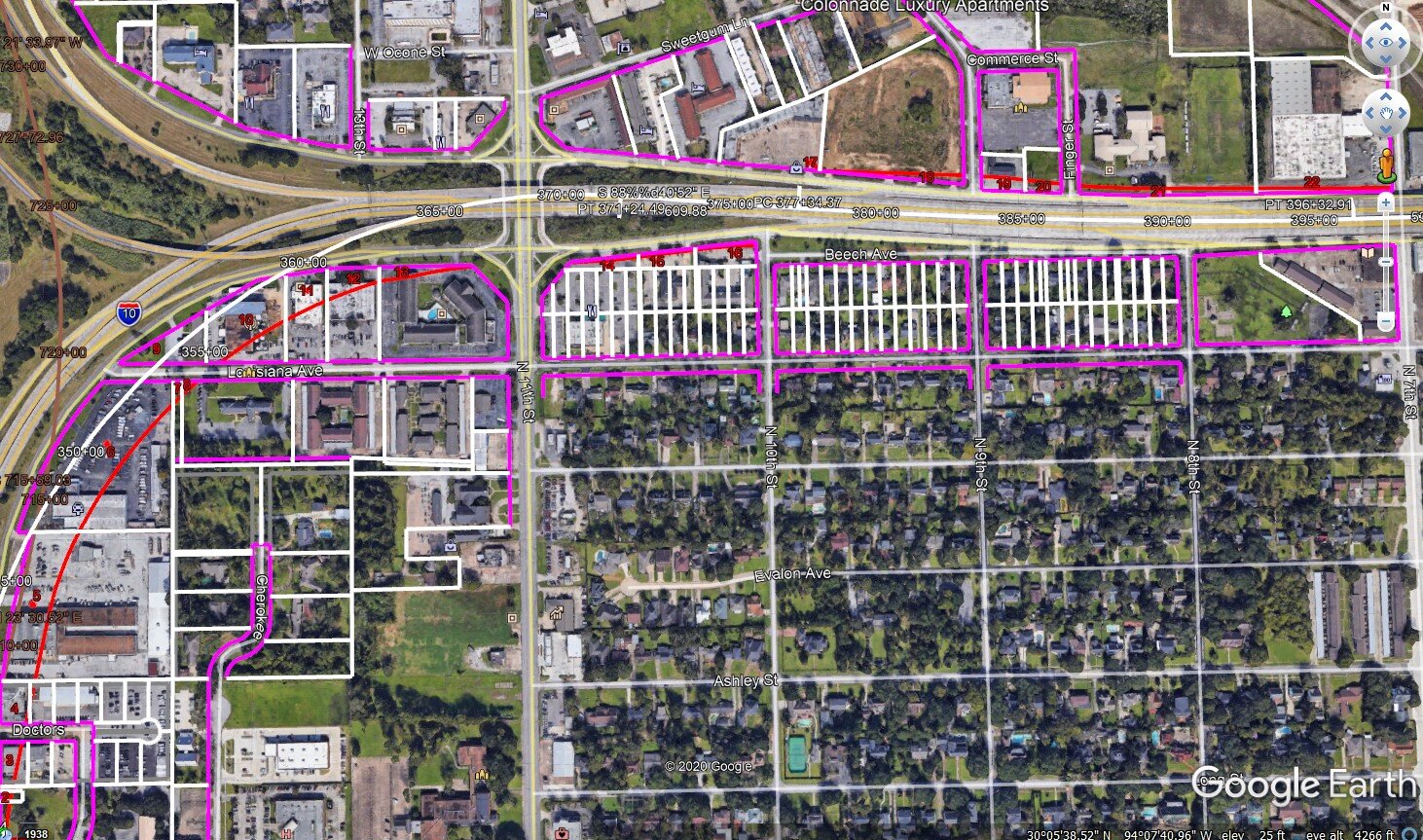
Right of Way (R.O.W.) Acquisition Land Planning
Morris and Associates has always taken pride in employing the latest technology to deliver quality services for our clients. To assist states, counties, and municipalities in their right of way acquisition process; M+A leverages recent advancements in 3D laser scanning and drone surveying to offer state-of-the-art, proven solutions showing very high levels of detail for planning and estimating. M+A is unique compared to other land planners because we employ licensed, professional engineers and architects who add accuracy and credibility to the work.
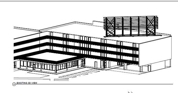
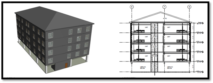
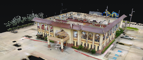
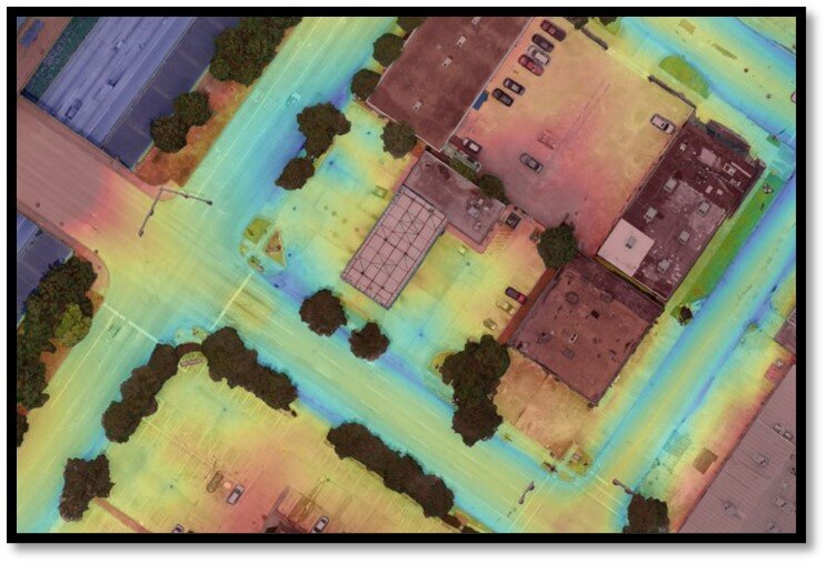
Utilizing 3D scanning technology, we render a 3D model of “as-built” real-world site conditions in a fraction of the time with much greater accuracy than traditional hand measurement. In addition, we create a permanent model that can be revisited months later if future site inquiries arise. This includes easily accessible 3D walkthroughs for use during depositions and trials. These models and surveys are combined with M+A’s experience to provide a possible cure plan, including revised building plan, site design, and modifications to parking, utilities, infrastructure, and landscaping.